

Many modern depth finders sync with phone apps for maps, waypoints and updates.
These are the best connected options.
The Outdoor Recreation is reader-supported. As an Amazon Associate we earn from qualifying purchases, at no extra cost to you.
Quick Picks
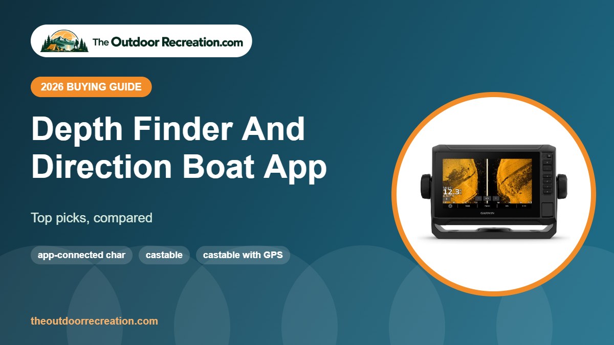
- Best app-connected chartplotter: Garmin ECHOMAP UHD2 73sv
- Best castable: Deeper PRO+ 2 Smart Sonar
- Best castable with GPS: Garmin Striker Cast GPS
- Best small boat unit: Garmin STRIKER Vivid 4cv
- Best Bluetooth: HawkEye FishPod 5X Bluetooth Fish Finder
Comparison Table
| Product | Best for | Key spec | Standout feature | |
|---|---|---|---|---|
| Garmin ECHOMAP UHD2 73sv | Best app-connected chartplotter | 7 in touchscreen | Navionics+ charts | View |
| Deeper PRO+ 2 Smart Sonar | Best castable | Built-in GPS + Wi-Fi | Onshore bathymetric mapping | View |
| Garmin Striker Cast GPS | Best castable with GPS | Built-in GPS | Quickdraw Contours maps | View |
| Garmin STRIKER Vivid 4cv | Best small boat unit | 4 in color screen | Vivid scanning sonar | View |
| HawkEye FishPod 5X Bluetooth Fish Finder | Best Bluetooth | AI fish targeting | 4 preset modes | View |
Detailed Reviews

1The ECHOMAP UHD2 73sv is a 7-inch touchscreen chartplotter and depth finder with ultra high-definition ClearVü and SideVü scanning sonar.
Garmin Navionics+ inland charts make it a full navigation and depth package for serious boaters.
Pros & Cons
What we like
- Touchscreen
- SideVü + ClearVü
- Navionics+ charts
Watch out for
- Higher cost
- Needs proper install
Key Specs
- Screen: 7 in touch
- Sonar: UHD ClearVü/SideVü
- Charts: Navionics+ US Inland

2The Deeper PRO+ 2 is a castable smart sonar with built-in GPS and Wi-Fi, so it maps the bottom as you reel in, even from shore.
It connects to the Deeper app on your phone and is a favorite of bank anglers, kayakers and ice anglers who want maps and sonar in one small ball.
Pros & Cons
What we like
- GPS mapping from shore
- Wi-Fi link for long range
- Works year-round including ice
Watch out for
- Premium price
- App features take time to learn
Key Specs
- Connection: Wi-Fi
- GPS: built in
- Use: shore, kayak, boat, ice

3The Garmin Striker Cast GPS adds built-in GPS, so you can make your own fishing maps with 1-foot contours using Quickdraw Contours while you cast and reel.
It streams sonar to your phone like the standard model, but the mapping makes it the stronger pick for anglers who want to learn a lake’s structure.
Pros & Cons
What we like
- Builds custom contour maps
- Mark spots precisely
- Same easy app as Striker Cast
Watch out for
- Costs more than the non-GPS model
- Mapping needs many casts
Key Specs
- GPS: built in
- Mapping: Quickdraw Contours, 1 ft
- Display: phone or tablet

4The STRIKER Vivid 4cv is Garmin’s compact entry into color CHIRP sonar with ClearVü scanning, sized for small boats, jon boats and kayaks.
Its simple menus and built-in GPS for marking waypoints make it a favorite first depth finder.
Pros & Cons
What we like
- Easy to learn
- ClearVü scanning
- Waypoint GPS
Watch out for
- Small screen
- No preloaded maps
Key Specs
- Screen: 4 in color
- Sonar: CHIRP + ClearVü
- Transducer: GT20-TM included

5The HawkEye FishPod 5X is a Bluetooth sonar with four preset modes that auto-adjust settings to target fish by size, depth or schools.
FishEcho tunes out clutter and BottomScan helps tell weeds from bottom, while the TraxNut mount fits any 1/4-20 bracket on kayaks and boats.
Pros & Cons
What we like
- Smart preset modes
- Mounts or casts
- Clutter filtering
Watch out for
- App-dependent
- Smaller brand ecosystem
Key Specs
- Connection: Bluetooth
- Mount: TraxNut 1/4-20
- Features: FishEcho, BottomScan
How We Chose
We compared screen size, sonar type, GPS and charts, transducer options and power needs across dozens of depth finders and accessories, then read verified owner feedback on readability, installation and reliability. We did not receive free products, and we do not claim hands-on testing. TOR Scores combine published specs, verified owner feedback and overall value. Related: our shortlist of the best depth finder for boat owners.
GPS, Maps and Navigation
A depth finder with GPS lets you save waypoints for productive spots, docks and hazards, and retrace your track back to the ramp. Chartplotter combos add lake or coastal maps with depth contours, and some units can build your own contour maps as you drive.
For navigation, depth readings help you avoid shallow bars and rocks, but they are not a substitute for charts, local knowledge and careful boat handling. Always keep a lookout and slow down in unfamiliar water. If you are comparing options, our guide to the best depth finder for boat use is worth a look.
How to Choose a Depth Finder
- Screen size: 4 to 5 inches suits kayaks and small boats; 7 to 9 inches is easier to read on larger boats.
- Sonar type: traditional CHIRP for depth and fish arches, down imaging for detail under the boat, side imaging for scanning wide areas.
- GPS and maps: built-in GPS marks waypoints; chartplotter combos add lake or coastal charts.
- Transducer mount: transom, trolling motor, through-hull or portable clamp.
- Power: most units run on 12V; kayaks and portable kits need a small battery.
Match the unit to your boat and water first, then add features you will actually use.
Boating Safety Comes First
A depth finder helps you avoid shallow water, but safe boating still depends on life jackets, weather awareness and good navigation. Wear a properly fitted life jacket, tell someone your plan and check the forecast before you go. Taking a boating safety course is a smart first step.
Depth Finder vs Fish Finder
A depth finder, or depth sounder, uses sonar to measure how deep the water is under your boat. A fish finder uses the same sonar but also shows fish arches, bait, structure and bottom hardness on a screen. Today almost every fish finder doubles as a depth finder, so most boaters buy one unit that does both. For a closer look, see our guide to the best depth finder for pontoon boats.
Basic depth sounders and handheld units are cheapest and simplest. Fish finders with CHIRP, down imaging or side imaging cost more but show far more detail, and chartplotter combos add GPS maps for navigation.
Depth Finder Installation Basics
Most small-boat depth finders use a transom-mount transducer. Mount it where water flows smoothly, away from the propeller wash, strakes and rivets, with the face level with or slightly below the hull bottom. Run the cable to the console, secure it with clips, and connect power to a fused 12V source.
Kayaks and canoes often use scupper or arm mounts, while rental boats and jon boats can use a clamp-on portable bracket. Always follow the manufacturer’s instructions; a poorly placed transducer is the most common cause of bad readings at speed. We cover this in more depth in our roundup of the best depth finder.
Reading Depth and Bottom on the Screen
The depth number in the corner is the most important reading. The bottom shows as a thick band: a hard bottom such as rock returns a brighter, thicker line, while mud and weeds return a softer, thinner line. Fish usually appear as arches when the boat is moving and lines when you sit still.
Turn sensitivity up until you see a little clutter, then back it off. Use zoom and split views to focus on the bottom few feet where many fish feed.
Related guides: best depth finder and gps for boats, best depth finder for navigation, best depth finder gps combo. See every pick in our Fish Finders category.
Sources and further reading: NOAA Fisheries: recreational fishing resources and Leave No Trace: the 7 Principles. Product specs come from brand listings on Amazon. Always check local fishing regulations before you fish.
Frequently Asked Questions
What is the difference between a depth finder and a fish finder?
A depth finder measures water depth; a fish finder also shows fish, structure and bottom detail. Most fish finders work as depth finders.
Do I need GPS on a depth finder?
Not for depth alone, but GPS lets you mark spots and navigate back to them.
Can I install a depth finder myself?
Many small-boat units are DIY friendly; follow the transducer placement guidance carefully.
Will a depth finder work in shallow water?
Yes, though readings can be less stable in very shallow, weedy water.
How do I power a depth finder on a kayak?
Use a small 12V battery, often lithium, stored in the hull or a crate.
Final Verdict
For most readers, the Garmin ECHOMAP UHD2 73sv is our top pick for depth finder and direction boat app. The other picks cover different budgets and needs.
Write Your Review
No reviews yet. Be the first to share your experience!